Service Layer Overview
Our services are organised as stability layers, each addressing a specific class of surface symptom common in property technology, land development and civil engineering environments. Rather than offering generic software development, we diagnose the tremor signals beneath workflow friction and deliver targeted systems that stabilise the entire ground section.
From geographic information systems development for surveying practices to construction management software for heavy and civil engineering contractors, every engagement begins with a stability survey and concludes with confirmed stable ground documented in our delivery records.
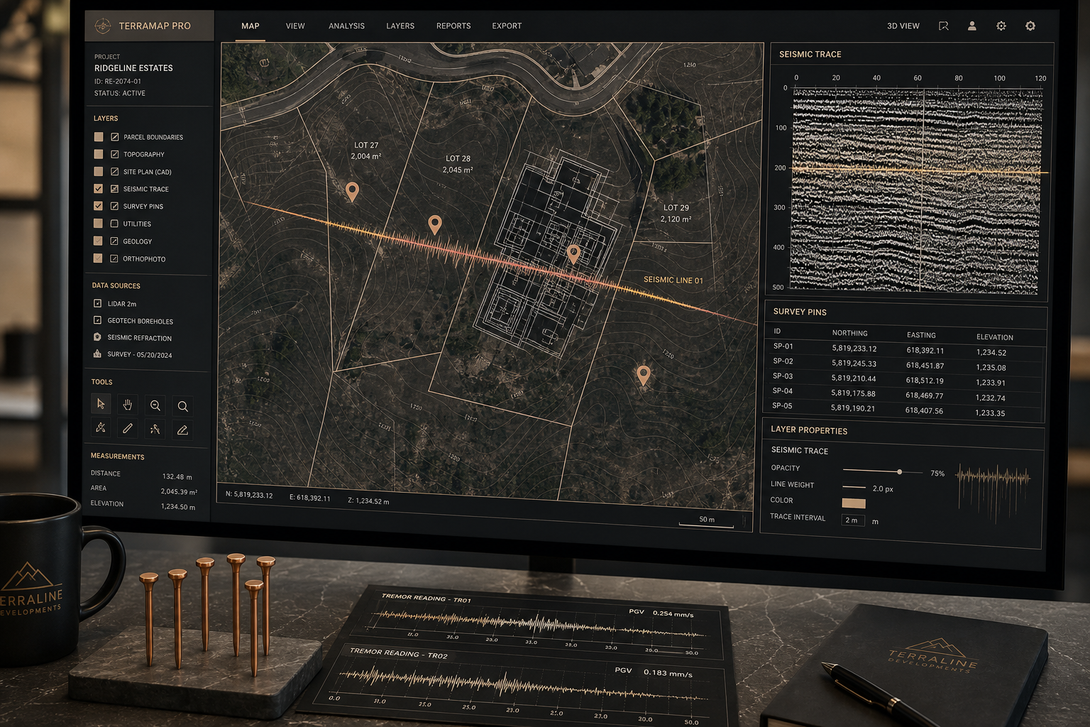
Geographic Information Systems Development
Custom GIS platforms for spatial data management, parcel mapping, layer analysis and geospatial API integration.
- Multi-layer spatial database architecture
- Ordnance Survey and cadastral data integration
- Real-time geospatial web services
- Spatial analysis and reporting engines
Land Subdivision and PropTech
Automated parcel allocation, boundary validation and real estate technology platforms for developers and subdividers.
- Automated boundary generation systems
- Regulatory compliance validation layers
- Developer workflow integration
- Property data pipeline development
CAD and Building Information Modelling
Integrated BIM services connecting architectural, structural and MEP layers with construction sequencing data.
- 3D model coordination platforms
- Clash detection and resolution workflows
- CAD to BIM conversion services
- Field-to-office model synchronisation
Construction Management Software
Custom platforms for project scheduling, site progress tracking, resource management and document control.
- Layer-aware project scheduling
- Site progress and reporting modules
- Subcontractor coordination systems
- Drawing and document version control
Smart Infrastructure and Urban Planning
Planning software integrating transport, utility, zoning and development data for informed decision-making.
- Infrastructure layer mapping tools
- Development impact assessment platforms
- Public consultation data systems
- Long-range urban planning dashboards
Custom Computer Programming Services
Bespoke software development for computer systems design and related services in the PropTech and construction sectors.
- API development and system integration
- Cloud-native application architecture
- Legacy system modernisation
- Data migration and stabilisation
Ground-Stability Process
Every service engagement follows our controlled seven-step sequence. We observe your current surface conditions, mark the relevant ground sections, read tremor signals in data and workflow, trace fault lines between systems, stabilise the affected layers through development, confirm stable ground through testing and maintain the stability record through ongoing support.
Frequently Asked Questions
TOWERVIEW AI LTD serves land subdividers and developers, heavy and civil engineering construction firms, surveying practices, planning authorities, PropTech companies and real estate technology providers across the United Kingdom. Our software adapts to each sector's specific ground conditions while maintaining our core stability methodology.
Project timelines depend on ground-section complexity. A focused GIS integration may stabilise within six to eight weeks, while comprehensive land subdivision platforms or construction management systems typically require three to six months. We provide timeline estimates after the initial stability survey.
Yes. Every delivery includes a stability maintenance layer covering monitoring, updates, tremor signal detection and technical support. We maintain long-term partnerships with clients to ensure project ground remains stable as requirements evolve.
Integration is central to our deep-reading approach. We trace fault lines between your existing CAD, GIS, ERP and project management systems and build stable connection layers that synchronise data without disrupting current operations.
Our initial stability survey includes surface condition assessment, system and data layer audit, tremor signal identification, fault-line mapping between existing tools and a written proposal with recommended service layers, timeline and investment estimate.