TOWERVIEW AI LTD builds PropTech, GIS and civil engineering software that scans unclear ground conditions, interprets parcel and infrastructure data, and delivers stable outcomes for developers, surveyors and construction teams across the United Kingdom.
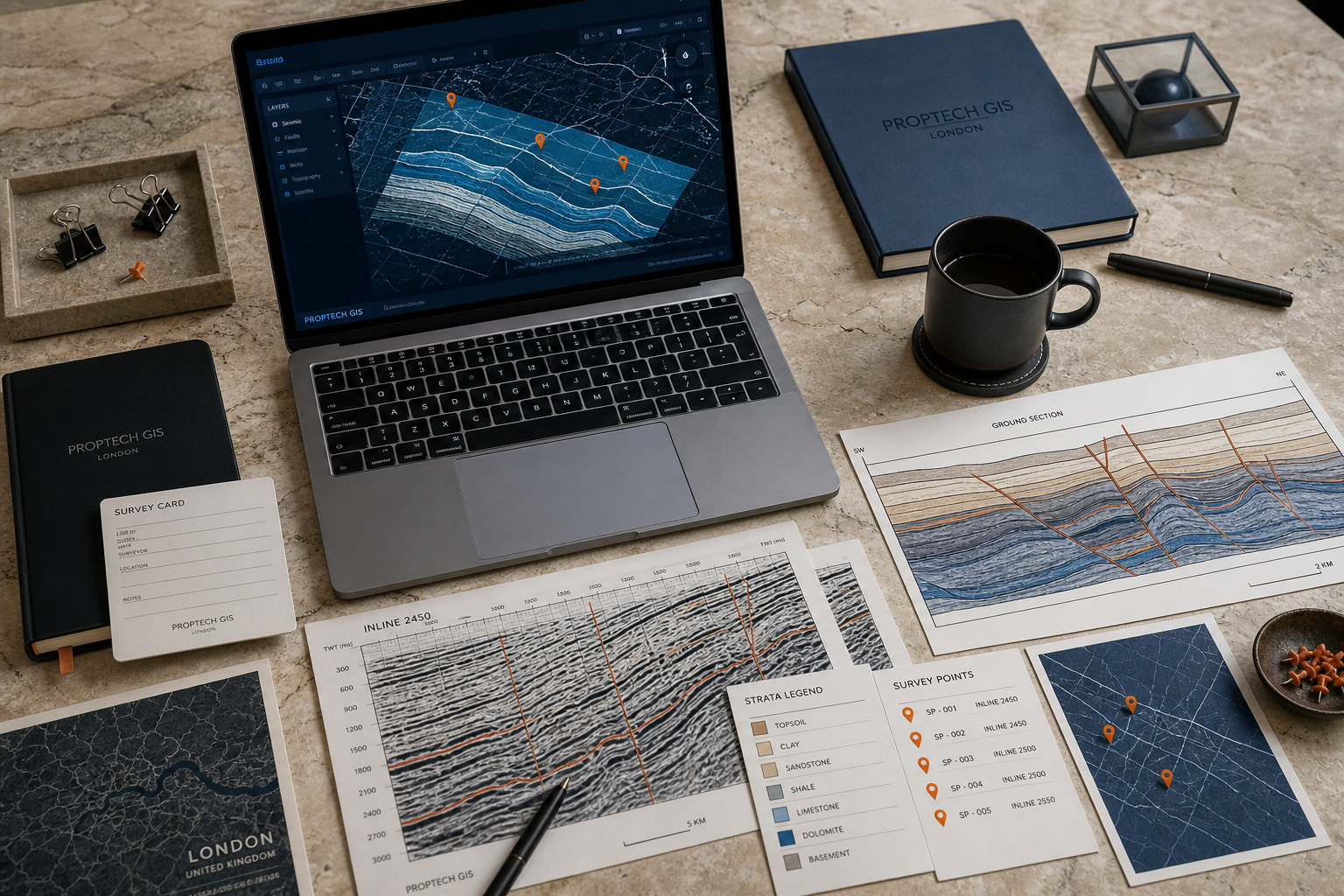
When PropTech and civil engineering projects show early tremors in data, workflow or delivery, our deep-reading methods stabilise the ground before costs escalate.
We integrate geographic information systems with building information modelling so parcel boundaries, elevation data and structural layers read as one stable ground section.
Custom programming automates parcel allocation, boundary validation and compliance checks, reducing tremor risk in developer and subdivider workflows.
Our software surfaces schedule pressure, resource conflicts and site-layer dependencies before they destabilise project delivery timelines.
Smart infrastructure solutions consolidate zoning, utility and transport layers into readable ground sections for planning authorities and developers.
We modernise civil engineering and surveying tools with PropTech-grade interfaces, cloud stability and real-time layer synchronisation.
Integrated PropTech platforms connect property data, transaction layers and development pipelines into one durable business ground.
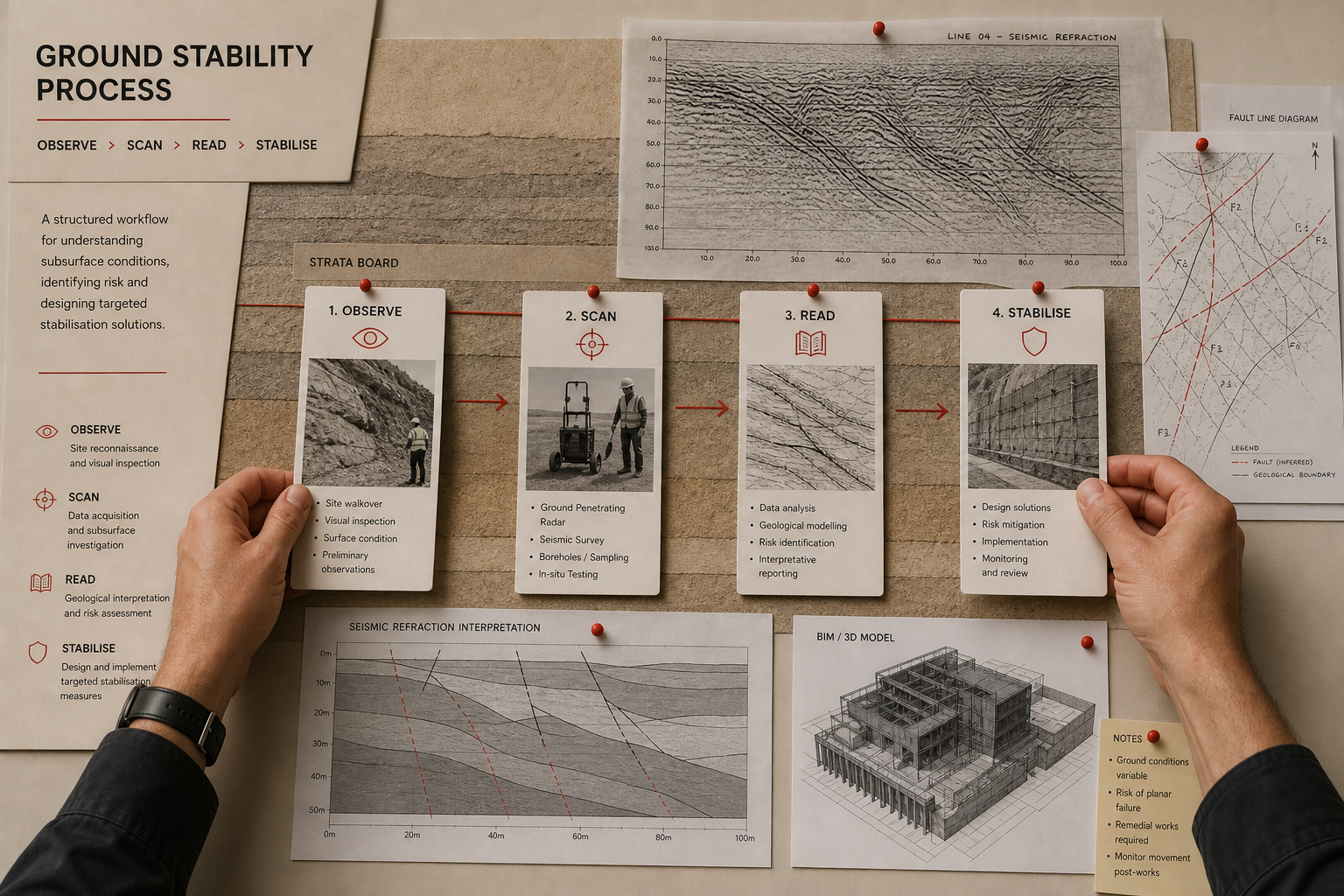
Every TOWERVIEW AI engagement follows a precise survey discipline. We observe surface conditions, scan underlying data layers, read structural dependencies, stabilise workflows and confirm durable outcomes before handover.
Selected stability records demonstrating how deep reading transforms surface uncertainty into verified ground.
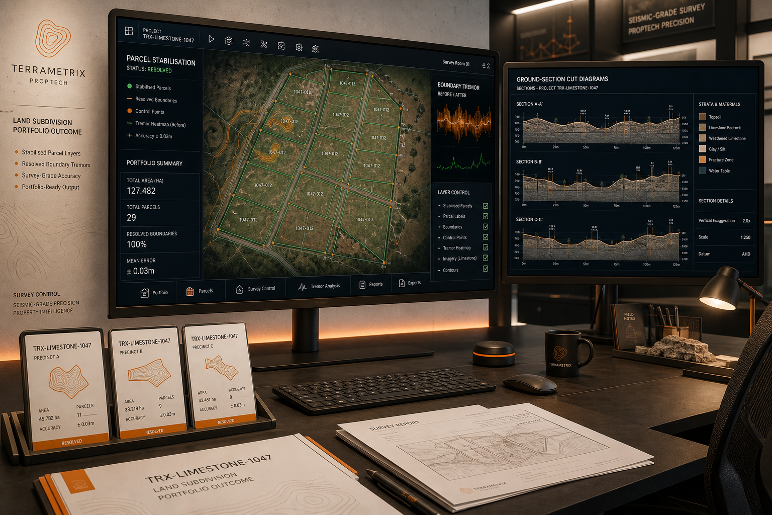
Surface Symptom: Manual boundary plotting across 340 parcels with inconsistent cadastral references.
Deep Reading: Automated GIS validation against Ordnance Survey layers and local authority zoning data.
Stable Ground: Unified subdivision platform processing 340 parcels in 72 hours with zero boundary conflicts.
View All Stability RecordsConnected site scheduling with BIM model updates for a civil engineering contractor, eliminating duplicate data entry across three project layers.
Built smart infrastructure mapping for a London borough, consolidating transport, utility and development layers into one readable ground section.
Stabilised real estate transaction data flow for a property technology firm, resolving tremor signals in listing synchronisation and valuation layers.
Most property technology and civil engineering software addresses visible workflow symptoms without reading the deeper structural layers beneath. When parcel data, BIM models and construction schedules operate as isolated strata, small tremors in one layer propagate instability across the entire project ground.
TOWERVIEW AI approaches every engagement as a ground-section survey. We trace fault lines between systems, mark pressure points in data flow and interpret how surface decisions affect subsurface delivery. This discipline produces software that remains stable when project scope, regulatory requirements or team composition shift.
Our London-based team combines custom computer programming expertise with practical understanding of land subdivision, heavy and civil engineering construction and geographic information systems development. We build for durability, not demonstration.
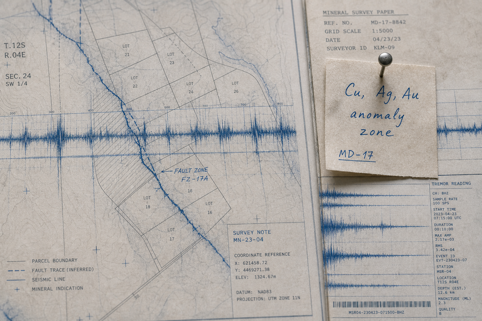
Each service layer maps client instability to a deep-reading method and verified business outcome.
Surface Symptom: Fragmented spatial data across departments and legacy platforms.
Deep Reading: Custom GIS architecture with unified layer management, spatial analysis engines and API integration.
Surface Symptom: Manual subdivision workflows prone to boundary errors and compliance gaps.
Deep Reading: Automated parcel allocation systems with regulatory validation and developer workflow integration.
Surface Symptom: Disconnected CAD outputs and BIM models creating coordination tremors on site.
Deep Reading: Integrated BIM services connecting structural, MEP and architectural layers with construction sequencing.
Surface Symptom: Schedule overruns and resource conflicts invisible until delivery pressure peaks.
Deep Reading: Custom construction management platforms with layer-aware scheduling and site data integration.
Surface Symptom: Planning decisions made without consolidated infrastructure layer visibility.
Deep Reading: Urban planning software integrating transport, utility, zoning and development data into stable ground sections.
Submit a survey request and our team will read your surface conditions, identify tremor signals and propose a stable path forward within two business days.