Company Background
Founded with the conviction that property technology and civil engineering software must read deeper structural layers before surface symptoms become delivery failures, TOWERVIEW AI LTD has spent over a decade building custom computer programming solutions for land subdivision, construction management and geographic information systems development.
Based at 42 Westbourne Grove in London, our team operates at the intersection of PropTech innovation and civil engineering practicality. We serve subdividers and developers, construction firms, planning authorities, surveying practices and real estate technology companies who require software that remains stable under regulatory pressure, scope change and multi-stakeholder coordination.
Our work spans custom GIS platforms, automated parcel boundary systems, BIM integration services, construction management software and urban planning tools. Each project follows our ground-stability discipline: observe, scan, read, stabilise and confirm.
Deep Reading Philosophy
We reject the approach of patching visible workflow problems without understanding the subsurface dependencies beneath them. When a developer struggles with manual land subdivision, the tremor often originates in disconnected cadastral data, inconsistent zoning references or legacy CAD exports — not simply in the plotting interface itself.
Our deep-reading methodology traces these fault lines across systems, identifies pressure points in data flow and designs software architecture that stabilises the entire ground section rather than smoothing one surface layer.
Operating Structure
TOWERVIEW AI LTD operates through dedicated service layers: GIS and spatial development, PropTech and land subdivision, CAD and BIM integration, construction management platforms and smart infrastructure planning. Each layer is staffed by specialists who understand both the technical requirements of custom computer programming and the commercial realities of heavy and civil engineering construction.
Project delivery follows our seven-step ground stability sequence, from initial surface observation through to confirmed stable ground and ongoing record maintenance. Clients receive documented stability reports at each phase transition.
Survey and Quality Standards
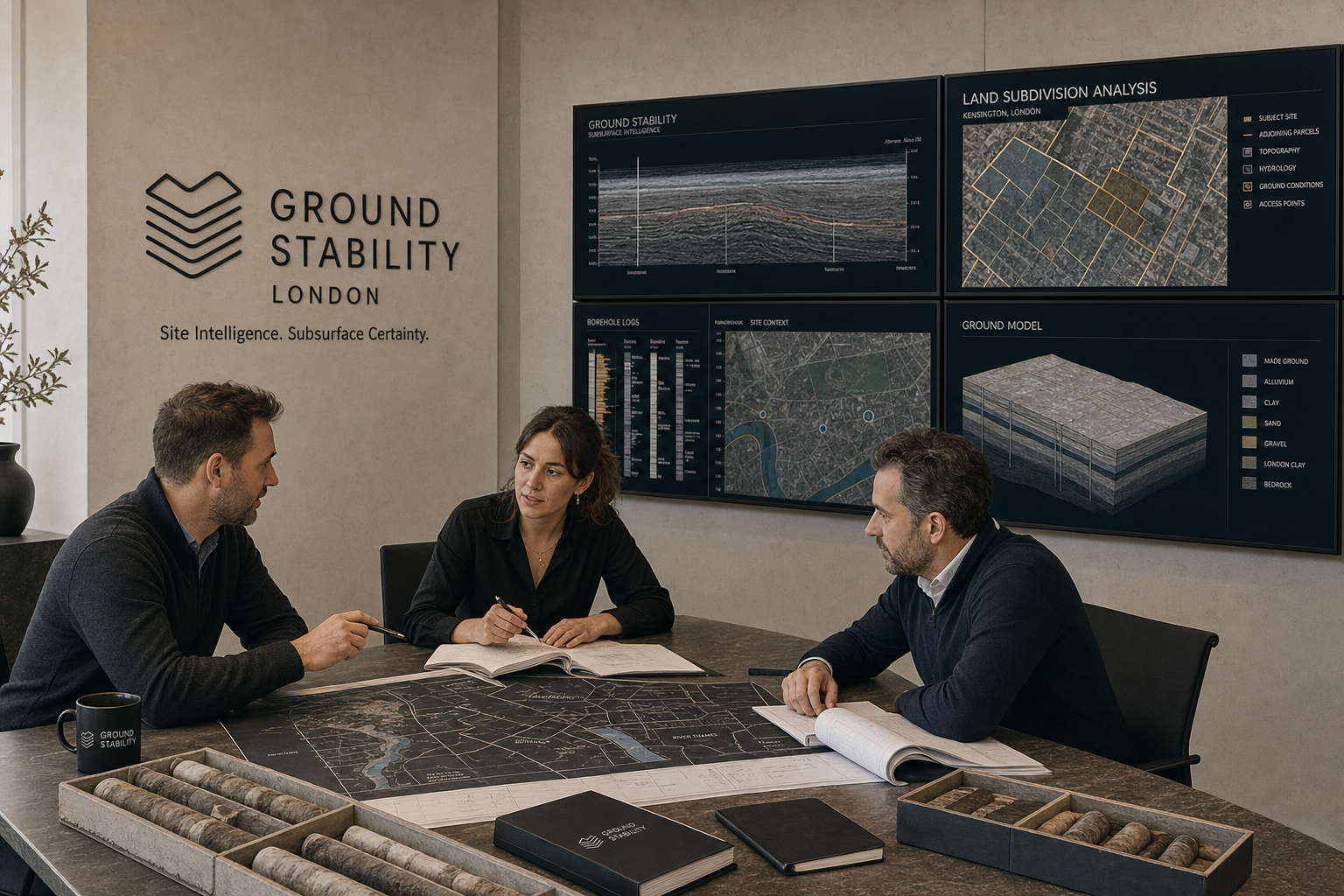
Every deliverable from TOWERVIEW AI LTD meets rigorous stability standards aligned with industry best practices in geographic information systems development, building information modelling and construction software delivery. Our quality assurance process includes automated testing across data layer integrity, spatial accuracy validation, API reliability checks and user acceptance verification against documented ground-section requirements.
We maintain compliance awareness for UK planning regulations, Ordnance Survey licensing requirements, construction industry data standards and PropTech sector security expectations. Our code repositories follow version-controlled release protocols with full audit trails for every stabilised layer deployed to production.
Reliability and Delivery
Client retention above ninety percent reflects our commitment to durable delivery. We do not hand over software and withdraw; we maintain stability records, monitor for emerging tremor signals and provide ongoing support layers that keep project ground steady long after initial deployment.
Whether delivering a land subdivision platform for a regional developer, a GIS integration for a surveying practice or a construction management module for a civil engineering contractor, TOWERVIEW AI LTD treats every engagement as a long-term stability partnership.