
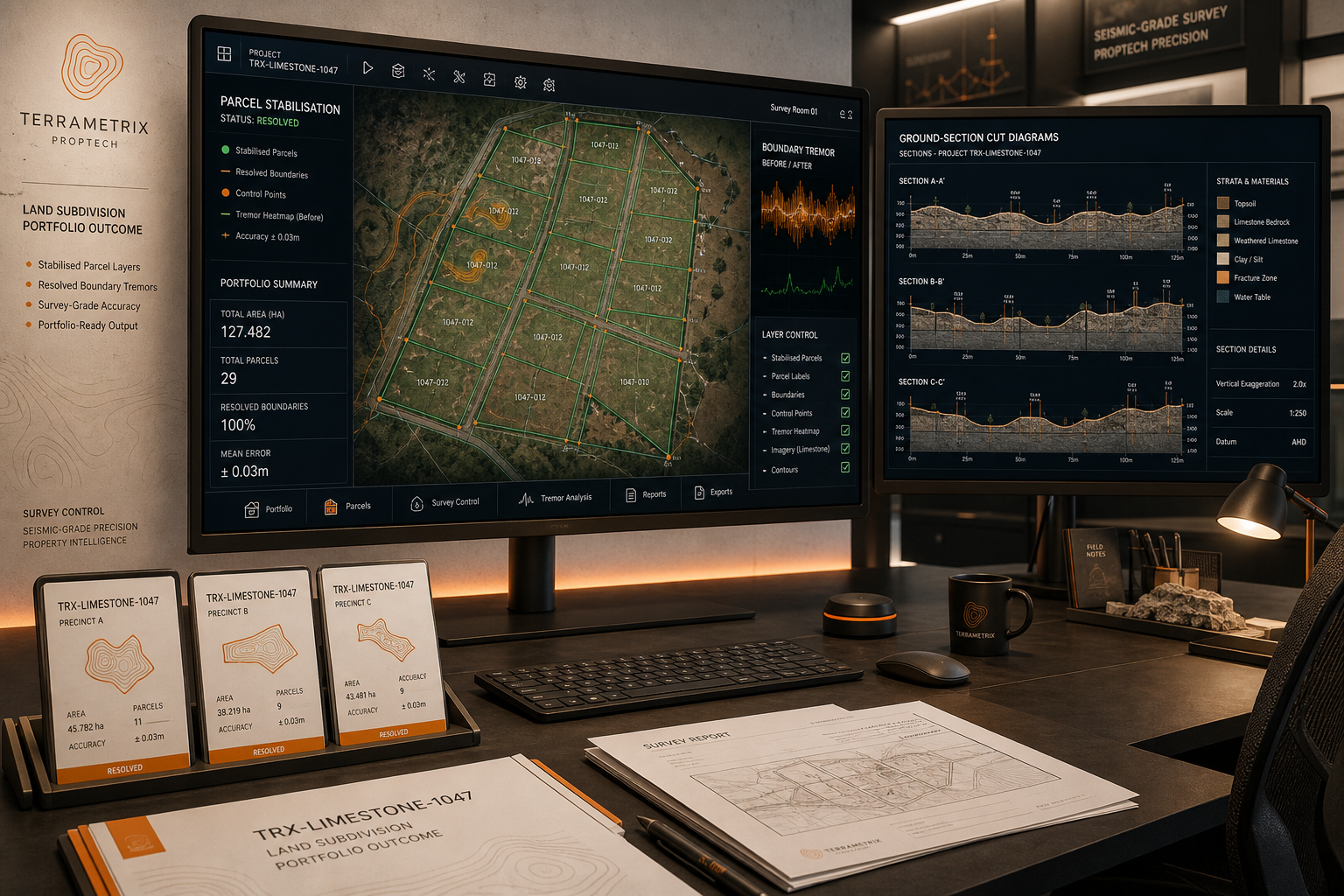
Regional Developer Parcel Stabilisation
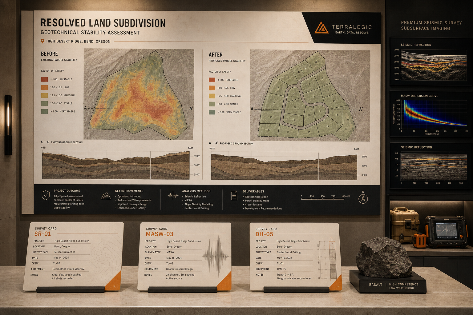
Surface Symptom: A regional property developer managed 340 parcels across three counties using disconnected spreadsheets, manual CAD plotting and inconsistent cadastral references. Boundary errors occurred in fourteen percent of submissions, causing planning delays and rework costs exceeding two hundred thousand pounds annually.
Deep Reading: TOWERVIEW AI traced fault lines between the developer's CAD exports, local authority GIS portals and internal parcel database. We identified that cadastral reference formats varied by county and that manual boundary validation lacked automated cross-referencing against Ordnance Survey MasterMap layers.
Work Performed: Custom land subdivision platform with automated boundary generation, multi-county cadastral format normalisation, Ordnance Survey layer integration and regulatory compliance validation against local planning authority rules.
Stable Ground: Three hundred forty parcels processed in seventy-two hours with zero boundary conflicts. Planning submission rework reduced by ninety-two percent. Platform now serves as the developer's primary PropTech ground layer.
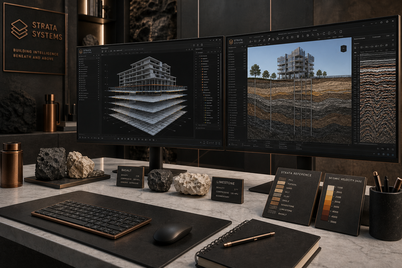
Civil Engineering BIM Coordination
Surface Symptom: A heavy and civil engineering contractor experienced recurring on-site coordination conflicts between structural, MEP and architectural models. Clash detection occurred too late in the workflow, after models reached construction teams.
Deep Reading: Our survey revealed that CAD outputs from three design firms used incompatible layer naming conventions and that the contractor's project management system stored model versions without synchronisation timestamps.
Work Performed: Integrated BIM coordination platform with automated clash detection, standardised layer mapping across design firm outputs, version-controlled model repository and construction sequence alignment module.
Stable Ground: On-site coordination conflicts reduced by seventy-eight percent within the first project cycle. Model synchronisation between office and field teams achieved real-time stability.
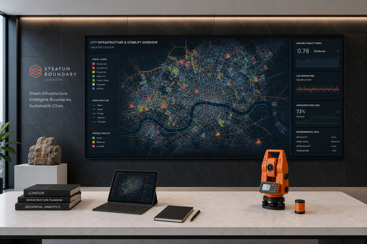
London Borough Urban Planning Platform
Surface Symptom: A London borough planning department managed transport, utility, zoning and development data across six disconnected systems. Planning officers spent excessive time assembling ground sections for committee reports.
Deep Reading: We mapped data flow between the borough's GIS, transport modelling software, utility provider databases and development application system, identifying twelve integration fault lines causing report assembly delays.
Work Performed: Smart infrastructure and urban planning platform consolidating all layers into unified ground sections with automated report generation, public consultation data integration and development impact assessment tools.
Stable Ground: Committee report preparation time reduced from five days to four hours. Planning officers access consolidated infrastructure layers through a single stable interface.
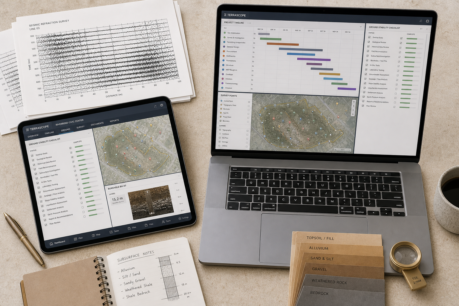
Construction Management Integration
Surface Symptom: A civil engineering firm tracked project schedules, resource allocation and site progress across four separate tools with manual data transfer between them. Schedule overruns were detected only after critical path disruption.
Deep Reading: Analysis showed that schedule, resource and progress data existed in compatible formats but lacked a synchronisation layer. Tremor signals in one system did not propagate alerts to others until weekly review meetings.
Work Performed: Custom construction management software with layer-aware scheduling, automated resource conflict detection, real-time site progress integration and unified reporting dashboard.
Stable Ground: Schedule overrun detection moved from weekly retrospective to real-time alerting. Resource utilisation improved by twenty-three percent across active projects.
PropTech Data Pipeline Stabilisation
Surface Symptom: A real estate technology company experienced listing synchronisation failures between their property platform, valuation engine and transaction management system. Data tremors caused incorrect valuations on eight percent of active listings.
Deep Reading: We traced the fault to asynchronous data refresh intervals and missing validation layers between the listing ingestion pipeline and valuation calculation engine.
Work Performed: Stabilised PropTech data pipeline with event-driven synchronisation, validation layers at each transfer point, automated tremor detection alerts and rollback capability for corrupted data states.
Stable Ground: Listing synchronisation accuracy reached ninety-nine point seven percent. Valuation errors eliminated from the active listing population within thirty days of deployment.